Difference between revisions of "20110626 MirriamLakeIdaho"
Jump to navigation
Jump to search
| (3 intermediate revisions by the same user not shown) | |||
| Line 1: | Line 1: | ||
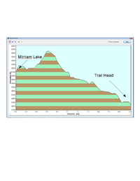
[[File:20110626_MirriamLakeProfile.png| 200 px]] | [[File:20110626_MirriamLakeProfile.png| 200 px]] | ||
| + | Below is a gpx file mapping the road from MacKay to Mirriam lake. The file is really a text file in XML | ||
| + | |||
| + | [[File:MacKay2MirriamLake.gpx.txt]] | ||
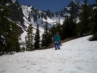
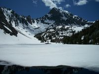
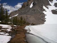
Dan Dale's pictures of our hike | Dan Dale's pictures of our hike | ||
| Line 10: | Line 13: | ||
[[File:MirriamLake20110626_5.png | 200 px]] | [[File:MirriamLake20110626_5.png | 200 px]] | ||
[[File:MirriamLake20110626_6.png | 200 px]] | [[File:MirriamLake20110626_6.png | 200 px]] | ||
| − | |||
Latest revision as of 01:49, 29 June 2011
Below is a gpx file mapping the road from MacKay to Mirriam lake. The file is really a text file in XML
File:MacKay2MirriamLake.gpx.txt
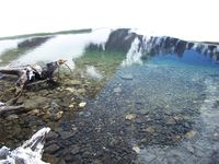
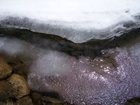
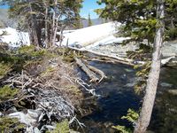
Dan Dale's pictures of our hike
